ArcGIS Velocity
Esri's ArcGIS Velocity enables organizations to harness the full power of geospatial technology for fleet management through real-time situational awareness.
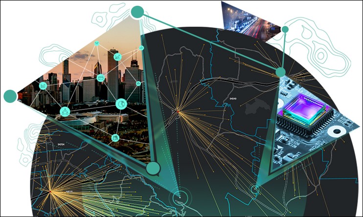
ArcGIS Velocity is a cloud-native add-on capability for ArcGIS Online. It enables users to ingest data from the Internet of Things (IoT) platforms, message brokers, or third-party APIs. It also helps users process, visualize, and analyze real-time data feeds, store those feeds as big data, and perform fast queries and analysis.
The software enables fleet managers who are on a quest to harvest and analyze real-time data to enforce safe practices, create efficiency, and conserve budgets, while also supporting repurposed archived data for strategic planning with big data analytics.
ArcGIS Velocity makes it easier to consume, visualize, and analyze streaming data.
Use ArcGIS Velocity to:
- Integrate real-time data
- Monitor critical assets
- Unlock spatial insights
- Trigger alerts
Esri ArcGis
ArcGIS is a geospatial platform that integrates and connects data through the context of geography.
Built by Esri, it provides world-leading capabilities for creating, managing, analyzing, mapping, and sharing all types of data. Organizations that use ArcGIS to analyze data in geographic context have a distinct decision-making edge.

